Browse City Map Postersfrom around the world
Explore published city poster maps, compare styles, and open individual city pages for larger previews. Turn your favorite streets into stunning minimalist wall prints or custom 3D terrain meshes.
Published Cities
Poster Styles
Vector Crisp Print
Explore the Global Atlas
Browse ready-to-print city map collections featuring multiple artistic rendering styles.
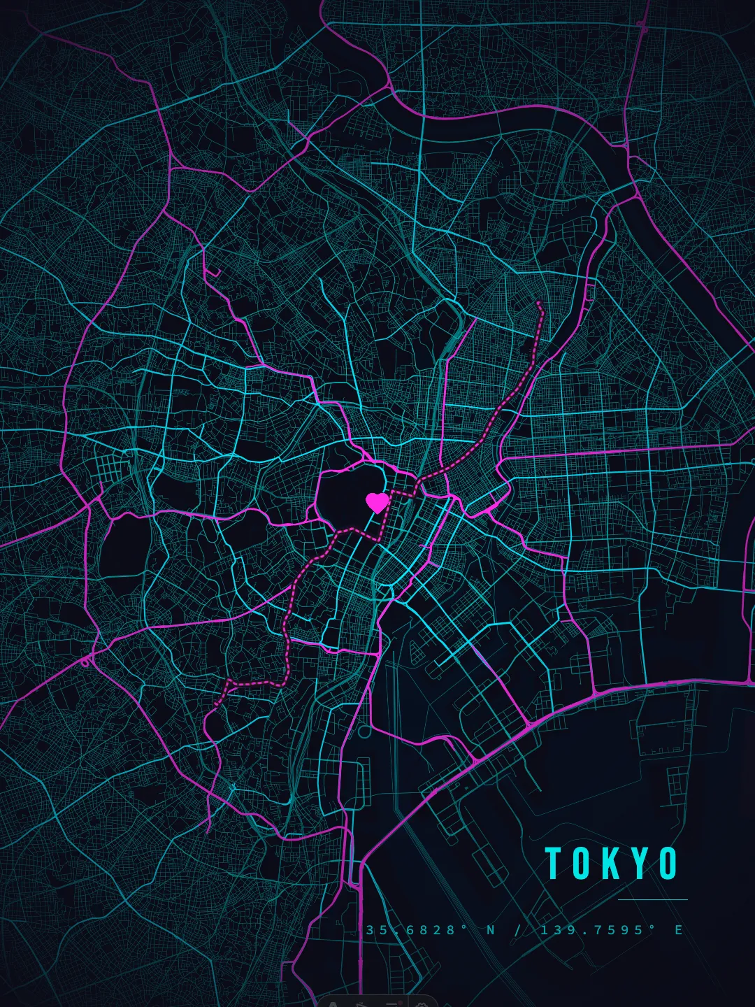
Tokyo
35.68°N 139.76°E
High-resolution road networks, waterways, and curated color palettes ready for download and framing.
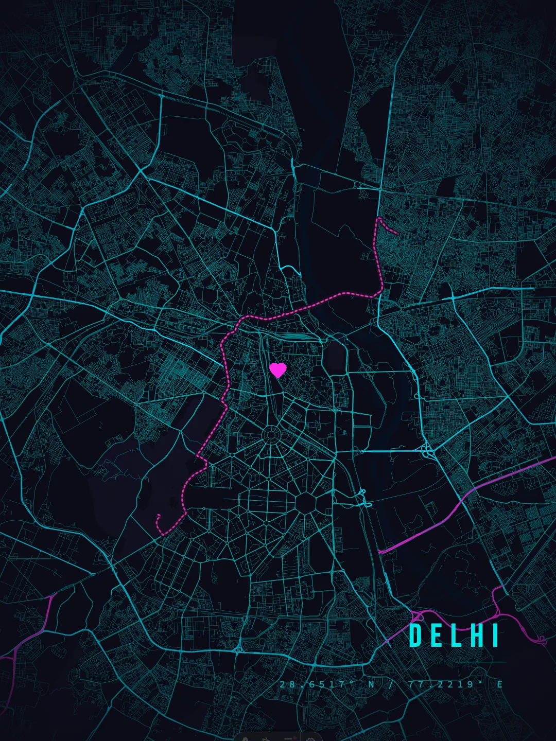
Delhi
28.65°N 77.22°E
High-resolution road networks, waterways, and curated color palettes ready for download and framing.
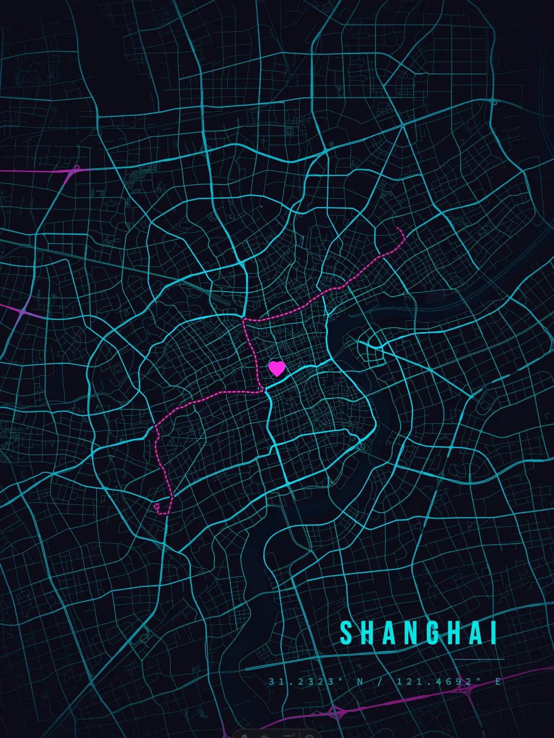
Shanghai
31.23°N 121.47°E
High-resolution road networks, waterways, and curated color palettes ready for download and framing.
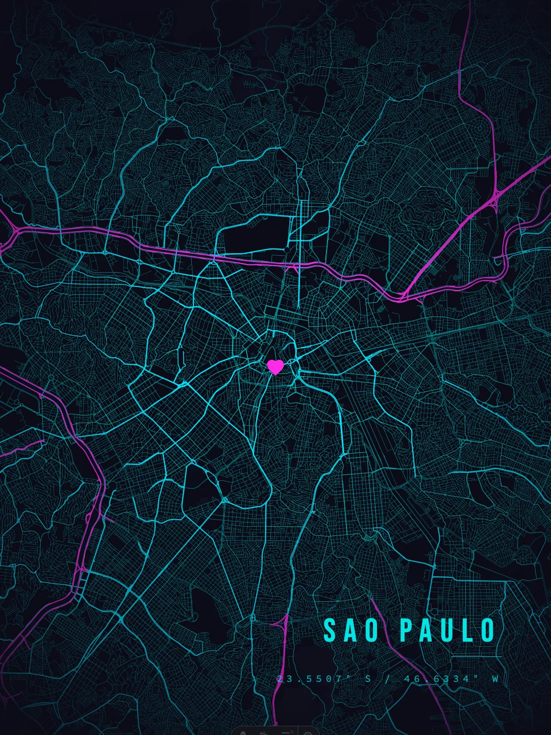
Sao Paulo
23.55°S 46.63°W
High-resolution road networks, waterways, and curated color palettes ready for download and framing.
Mexico City
19.43°N 99.13°W
High-resolution road networks, waterways, and curated color palettes ready for download and framing.
Dhaka
23.79°N 90.40°E
High-resolution road networks, waterways, and curated color palettes ready for download and framing.
From Geographic Data to Wall Art
How MapofCities transforms millions of OpenStreetMap vector coordinates into elegant, print-ready minimalist city maps and tactile terrain models.
Search Any City or Coordinates
Browse a curated atlas of published city map posters — with the world's largest metros first — or input exact GPS coordinates for any remote island, mountain pass, or childhood hometown across the globe.
Select Cartographic Palette
Choose from hand-tuned colorways—such as Nordic Minimal, Midnight Blueprint, Warm Sepia, or Emerald Forest—each balanced to emphasize street grids, coastlines, and waterways.
Fine-tune Typography & Mat Frames
Personalize city headings, country labels, coordinates, and aspect ratios. Adjust inner and outer mat borders to match standard picture frame sizes (18x24", 50x70cm, A1/A2).
Export Ultra-HD 300 DPI Prints
Download pixel-crisp 300 DPI PNG / PDF files ready for high-end giclée printing or home display with zero pixelation.
Choose Your Cartographic Style
Every city in our collection can be rendered across distinct aesthetic themes — from minimal Scandinavian linework to high-contrast architectural blueprints and warm heritage palettes.
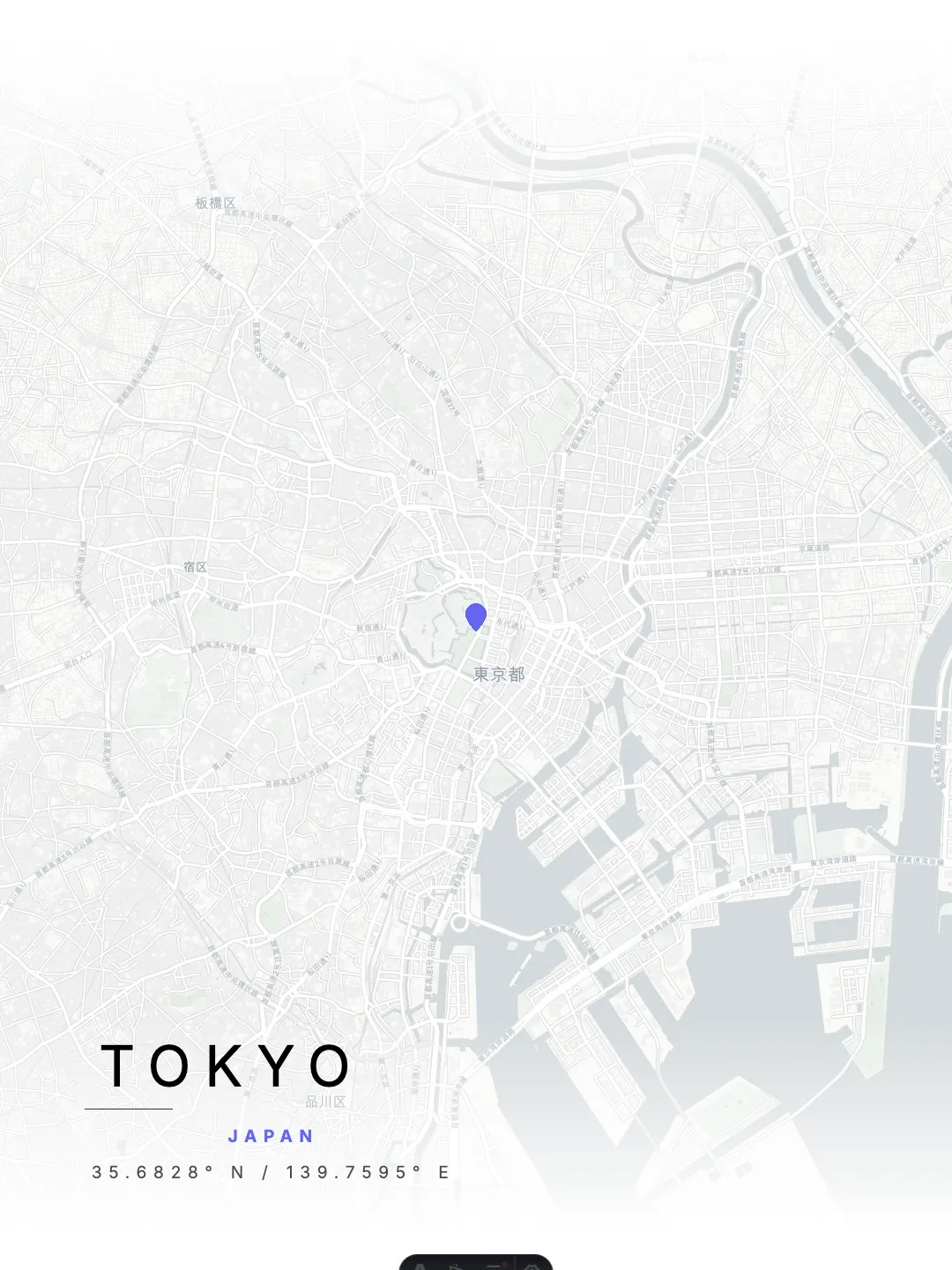
Minimal Light
PresetPrecision vector cartography highlighting highway hierarchies, waterways, and local geometry.
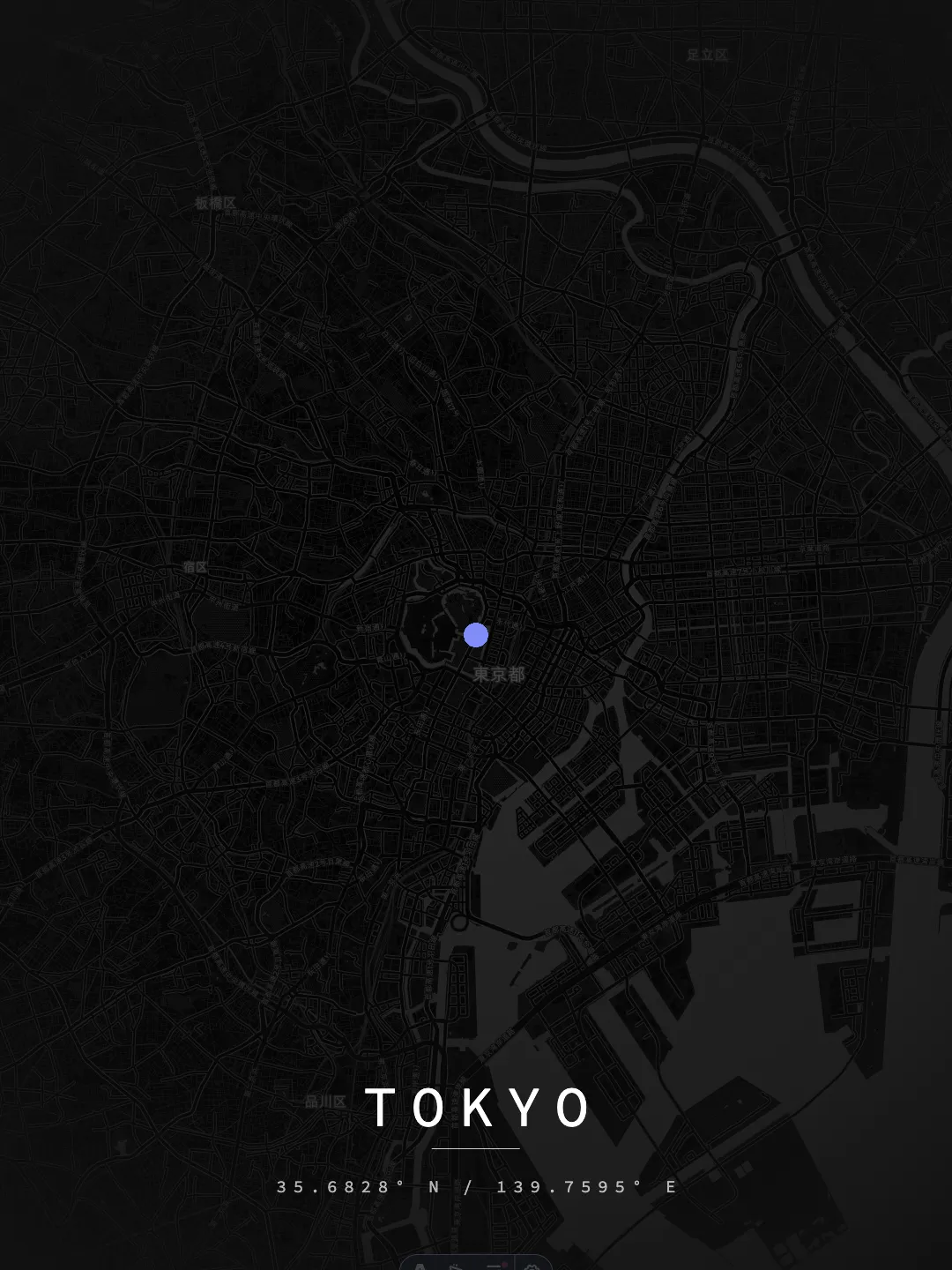
Midnight Grid
PresetPrecision vector cartography highlighting highway hierarchies, waterways, and local geometry.
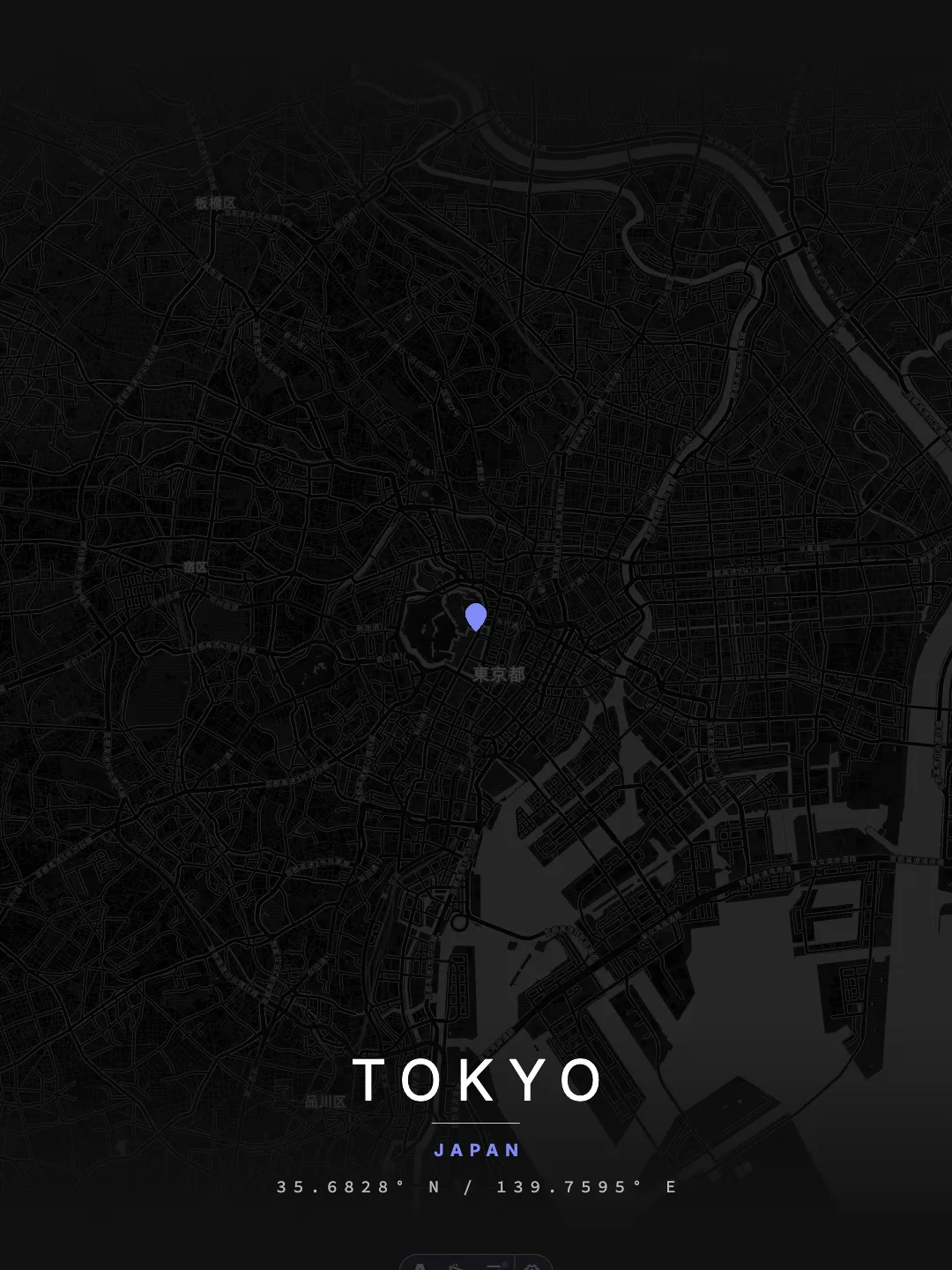
Minimal Night
PresetPrecision vector cartography highlighting highway hierarchies, waterways, and local geometry.
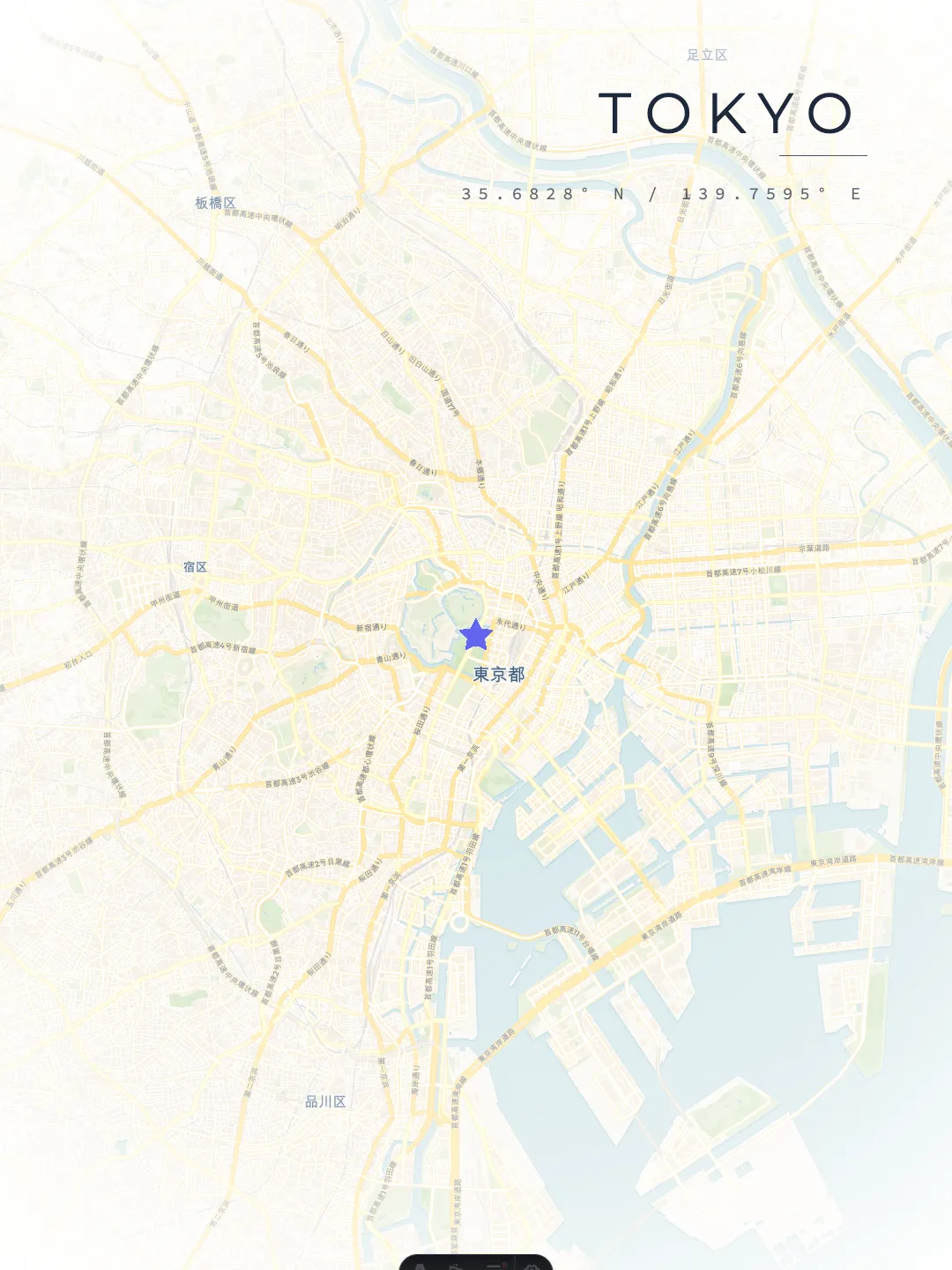
Urban Contrast
PresetPrecision vector cartography highlighting highway hierarchies, waterways, and local geometry.
Design Your Own Custom City Poster in Real-Time
Need a map of a specific neighborhood, your honeymoon destination, or your college campus? The MapofCities Studio gives you complete creative freedom over any location on Earth with instant live preview.
Search any address, city, or input exact decimal lat/long coordinates with instant MapLibre GL panning and zooming.
Add customizable inner and outer mat borders with millimeter precision to frame your art like a gallery piece.
Edit primary title, secondary subtitle, and coordinate strings in serif, sans-serif, or modernist display typefaces.
Choose 4:5 (16×20"), 3:4 (18×24"), 2:3 (24×36"), 1:1 Square, or ISO A1/A2 with one-click export.
The Science & Aesthetics of City Maps
A great city poster is both a geographic record and an artistic centerpiece. Explore how road topologies, spatial projections, and framing dimensions interact.
Urban Street Grid Topologies
Every metropolis carries a distinct geographic fingerprint. When road networks are stripped of labels and color-coded by hierarchy (highways, primary arteries, residential lanes), the city's historical evolution is immediately legible.
Orthogonal Grids
GeometricClassic examples: New York & Barcelona
Right-angled intersections and uniform block footprints produce clean, architectural geometric rhythm.
Radial Boulevards
CentricClassic examples: Paris & Amsterdam
Concentric rings and star-shaped avenues radiating outwards from historic monuments and canal loops.
Organic Topologies
OrganicClassic examples: Tokyo & Venice
Centuries-old pedestrian alleys and waterways that trace natural shorelines, rivers, and hill contours.
Standard Print & Frame Dimensions
All MapofCities downloads and Studio exports are engineered with standard picture frame aspect ratios in mind, eliminating awkward cropping or bespoke framing fees.
Ideal for living room and bedroom accent walls; the most popular format in North America.
The quintessential IKEA Ribba / Lomviken frame dimension, popular across UK and EU.
Statement exhibition size showcasing high-density street networks with microscopic detail.
Standard architectural sizing (594 × 841 mm for A1; 420 × 594 mm for A2).
200–250 gsm Matte Paper
We recommend printing on acid-free, heavyweight fine art matte stock. Matte paper prevents distracting light reflections beneath glass or acrylic frames.
True 300 DPI Rendering
Unlike low-res raster screenshots, our exports render at full 300 DPI vector clarity. Even secondary residential lanes remain razor-sharp at poster scale.
EPSG:3857 Projection
Roads and natural water bodies are projected using standard Web Mercator geometry, ensuring accurate spatial angles and faithful geographical representation.
Got Questions? Everything You Need to Know
Detailed answers about resolutions, frame dimensions, licensing, and 3D printing.
What resolution and formats are available for poster downloads?
Every city poster is rendered at high-resolution 300 DPI, suitable for large-format physical prints without pixelation or blur. Downloads are available in PNG and PDF formats, with vector SVG assets available for custom Studio compositions.
What standard picture frame sizes do these posters fit?
Posters are formatted for standard global framing sizes: US Imperial 18×24 inches (45×60 cm) and 24×36 inches (60×90 cm); European metric 50×70 cm (standard IKEA Ribba and Lomviken frames); and international ISO A-series (A1, A2, A3).
Can I generate a map poster for any location, even if it's not listed?
Yes! Our published atlas covers the world's largest cities first, and the MapofCities Studio is connected to global OpenStreetMap data. You can search for any small village, island, university campus, or enter exact GPS coordinates to create a custom poster.
How do custom map markers and routes work in Studio?
In our Studio editor, you can drop custom location markers (such as hearts, stars, or modern pins) to mark special places, and draw highlighted routes along roads to commemorate a marathon, daily commute, or road trip.
What type of paper and ink should I use for printing?
For optimal wall art results, we recommend printing on heavyweight 200–250 gsm fine art paper with an archival matte or smooth rag finish. Matte surfaces eliminate distracting glare behind frame glass. Pigment-based giclée printing ensures fade resistance for over 100 years.
Can I customize the typography, labels, and mat frame borders?
Absolutely. In Studio, you can edit the primary city title, subtitle, and latitude/longitude coordinate strings. You can also configure double matting (inner and outer border margins) to achieve a museum-quality framed aesthetic.
Can I use these map posters for personal or commercial projects?
All downloads and generated maps are completely free for personal and editorial use. If you need commercial licensing for retail products, architectural staging, or enterprise branding, please contact us via our contact page.
What cartographic data sources power MapofCities?
Our maps are built upon open geographic data from OpenStreetMap contributors, OpenFreeMap, and satellite elevation models from NASA SRTM and European Copernicus missions. Spatial projections are calculated in Web Mercator (EPSG:3857).
How do I request a new city or feature for the atlas?
We welcome recommendations for our next batch of published city archives. Reach out through our contact page or email [email protected] with your requested city and preferred aesthetic style.