Country
Japan
Japan
Browse 15 ready-made Tokyo map poster styles and open each one in a larger preview, or jump into the Studio to customize the map with your own palette, markers and export size. Tokyo sits at 35.68°N, 139.76°E in the Northern & Eastern hemispheres — Studio pages for this megacity open pre-centered on these exact coordinates.
Poster Gallery
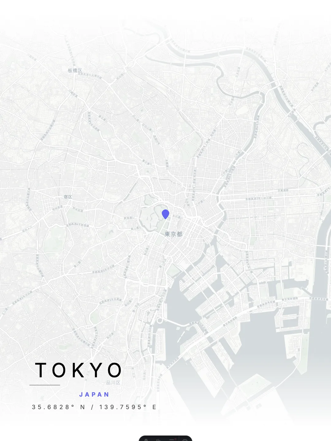
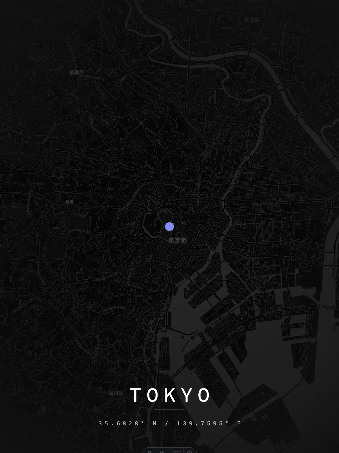
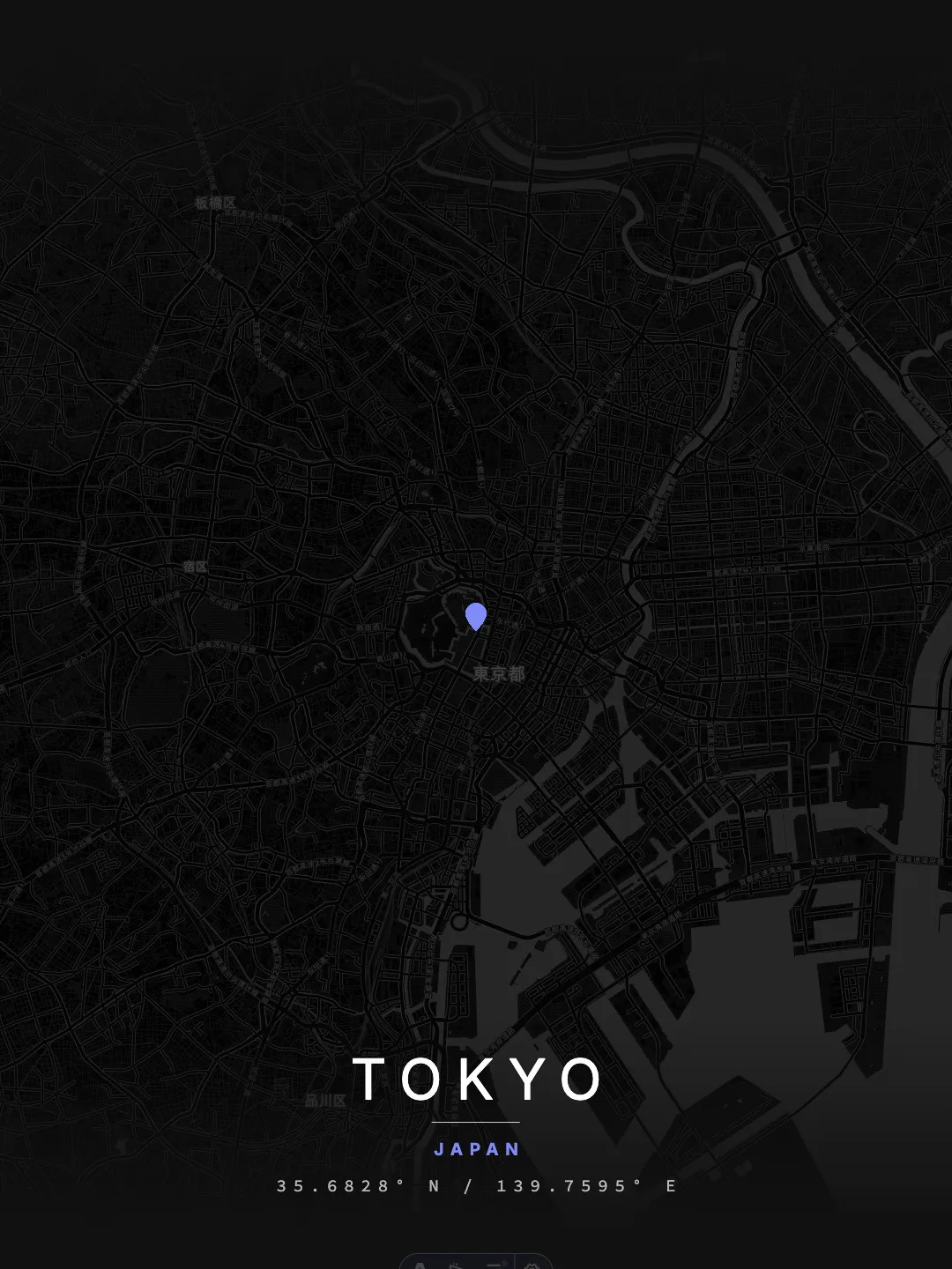
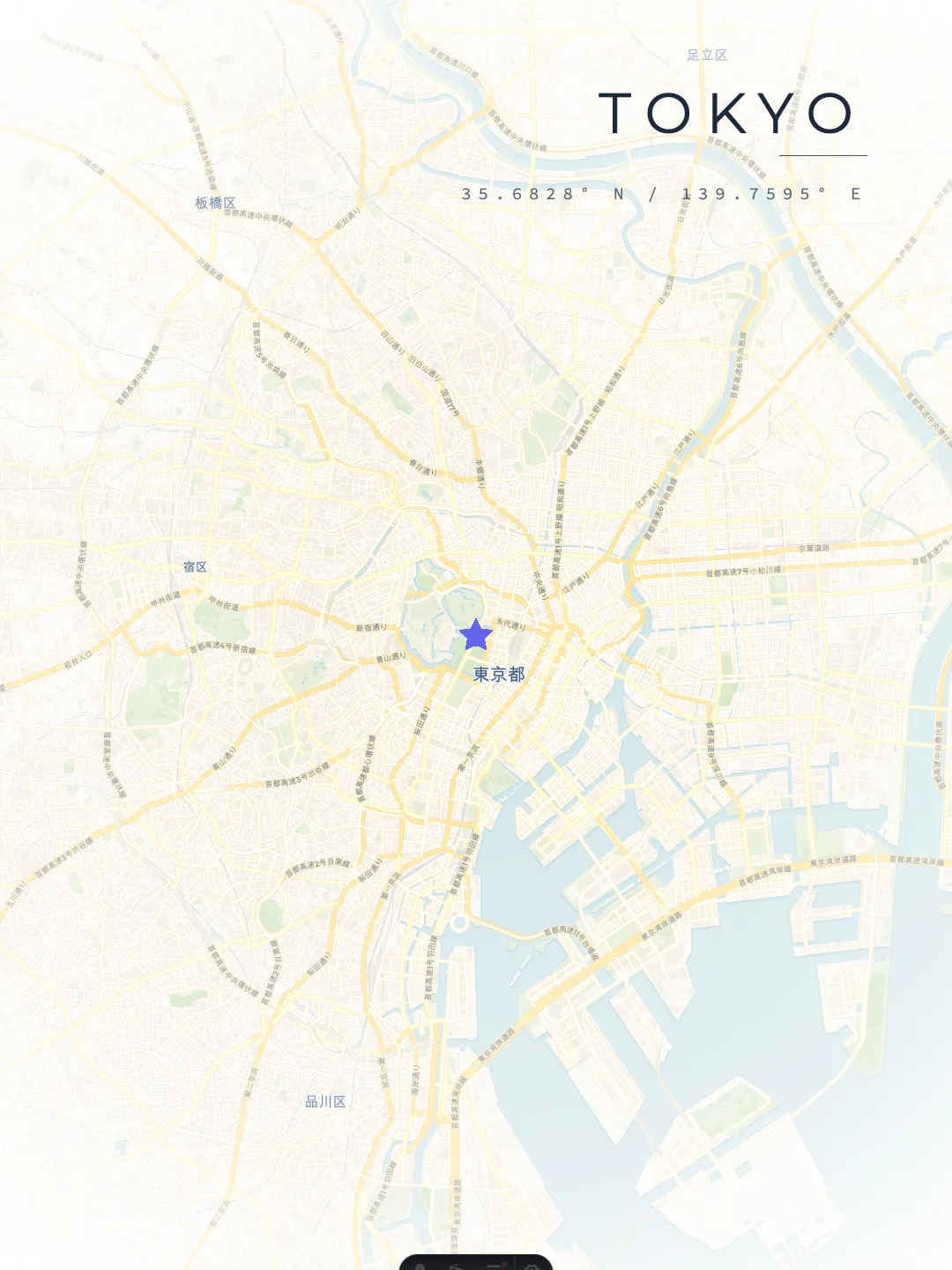


Browse Tokyo maps by style
About this collection
Tokyo is the 1st most populous city in the MapofCities atlas, a megacity of37,339,804 people in Japan. Its coordinates (35.68°N, 139.76°E) place it in the Northern & Eastern hemispheres, and every poster on this page is rendered from the same OpenStreetMap-derived street geometry at 300 DPI print resolution.
The current Tokyo set spans 15 styles: Minimal Light, Midnight Grid, Minimal Night, Urban Contrast, Pastel Canvas, Forest Muted, Desert Sand, Cyber Noir, Architectural Blueprint, Luxurious Dark Gold, Ethereal Minimalist, Emerald Valley, Classic Vintage, Satellite Vision and Terrain Topo.If you already know the mood you are after, start with theminimal or the dark or the printable map pages. Thestyle catalogexplains when each palette works best.
Every Tokyo style exports at standard frame sizes — ISO A1/A2/A3, European 50×70 cm and US 18×24 in / 24×36 in — and prints best on heavyweight 200–250 gsm matte paper. Personal use is free; commercial resale requires a license and OpenStreetMap data stays credited under the ODbL. Details live in the print & framing FAQand the permissions page. Want different colors, markers or a route? Open Tokyo in theStudioand export your own version at print size.
Country
Japan
Population (2021)
37,339,804
Ranked 1st in the atlas
Coordinates
35.68, 139.76
Poster styles
15
All print-ready at 300 DPI
FAQ
15 styles are published for Tokyo: Minimal Light, Midnight Grid, Minimal Night, Urban Contrast, Pastel Canvas, Forest Muted, Desert Sand, Cyber Noir, Architectural Blueprint, Luxurious Dark Gold, Ethereal Minimalist, Emerald Valley, Classic Vintage, Satellite Vision, and Terrain Topo. Each one has a full preview in the gallery above, and every style can be recolored and re-exported in the Studio.
The Tokyo posters are print-ready at 300 DPI for standard international frames: ISO A1, A2 and A3, European 50×70 cm, and US 18×24 in / 24×36 in. For best results print on heavyweight 200–250 gsm matte paper.
Tokyo sits at 35.68°N, 139.76°E, in the Northern & Eastern hemispheres, Japan. Studio sessions for Tokyo open pre-centered on these exact coordinates, so the map framing matches the posters on this page.
Street networks, waterways and green areas come from OpenStreetMap contributors, licensed under the Open Database License (ODbL). The map geometry stays attributed on every Tokyo poster, and the data updates as OpenStreetMap is improved.
Yes. Open Tokyo in the Studio to change the palette, typography, passepartout border, markers and routes, then export at any standard print size — no account required.